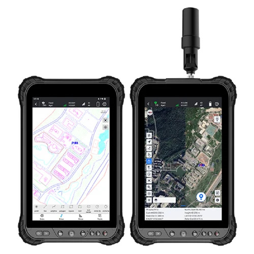
About Submeter Survey GPS N80 System
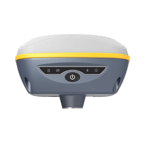
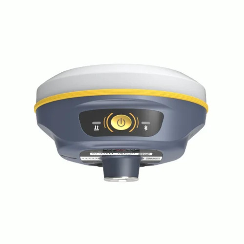
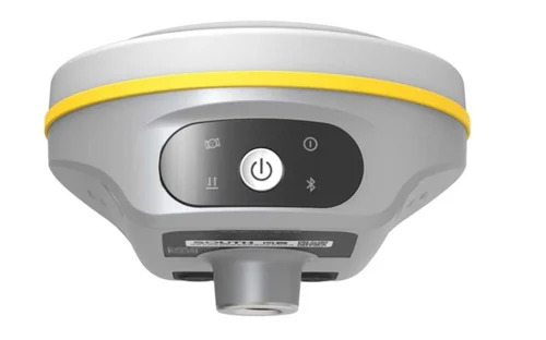
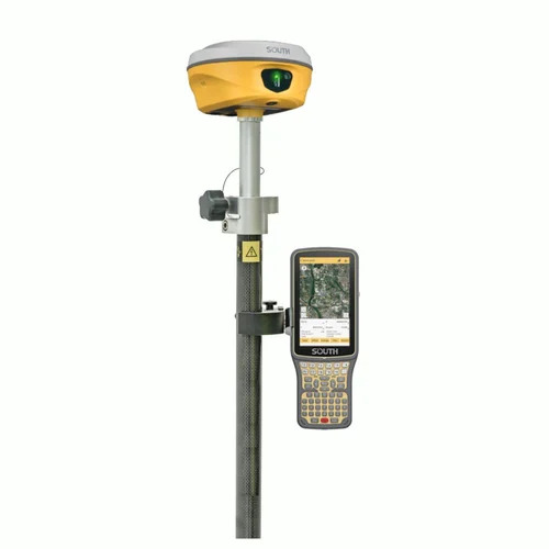
The Elite Submeter Survey GPS N80 System is a new, top-drawer surveying solution designed to meet lofty industrial requirements with submeter accuracy. This cost-effective masterpiece boasts 72 GPS channels and supports both GPS and GLONASS, ensuring robust connectivity. Its LCD display, built-in antenna, and Bluetooth capabilities make it user-friendly, while internal memory provides reliable data storage. Durable in extreme conditions, the N80 is dustproof and operates between -20C to 60C. With USB charging and a remarkable 10-hour operation time, it's an outstanding companion for any surveying project.
Submeter Survey GPS N80 System: Versatile Applications and Key Features
Used as an advanced survey and mapping tool, the Submeter Survey GPS N80 System is ideal for industrial precision tasks. With an intuitive LCD, 10-hour battery, and sturdy construction, the machine offers seamless operation in challenging environments. Its submeter accuracy and versatile GNSS support make it essential for land surveying, resource management, and construction applications. The built-in Bluetooth and internal memory ensure efficient data handling and effortless field usage.
Packaging, Export Markets & Sample Availability for GPS N80 System
Delivery and order processing for the N80 System are swift, with packaging tailored to client needs. We ensure careful dispatching to maintain product integrity. Serving major export markets in India and beyond, we accommodate diverse clients. Samples are available on request, facilitating informed decision-making before bulk orders. Our streamlined procedures ensure timely response and reliable delivery to all customers.
FAQ's of Submeter Survey GPS N80 System:
Q: How does the Submeter Survey GPS N80 System provide such high accuracy?
A: The system utilizes 72 advanced GPS channels and supports both GPS and GLONASS, ensuring submeter-level positioning accuracy for reliable survey data.
Q: What is the recommended process for charging and operating the N80 system?
A: Simply connect the device to a USB power source for charging. The system operates for up to 10 hours per charge, accommodating long survey sessions without interruption.
Q: When is it best to use the Submeter Survey GPS N80 System?
A: It is ideal for industrial applications, land surveying, and construction projects that require precise geospatial data under varied environmental conditions.
Q: Where can the N80 System be deployed effectively?
A: Thanks to its dustproof design and wide operating temperature range, the N80 system can be used efficiently in challenging field stations, remote sites, and industrial environments.
Q: What are the main benefits of Bluetooth connectivity in this GPS system?
A: Bluetooth connectivity simplifies the transfer of survey data to other devices, enhances workflow efficiency, and supports real-time monitoring during field operations.
 Send Inquiry


 Send Inquiry